Tahoe [Map Pack Bundle] (National Geographic Trails Illustrated Map)
$27.60
by National Geographic Maps
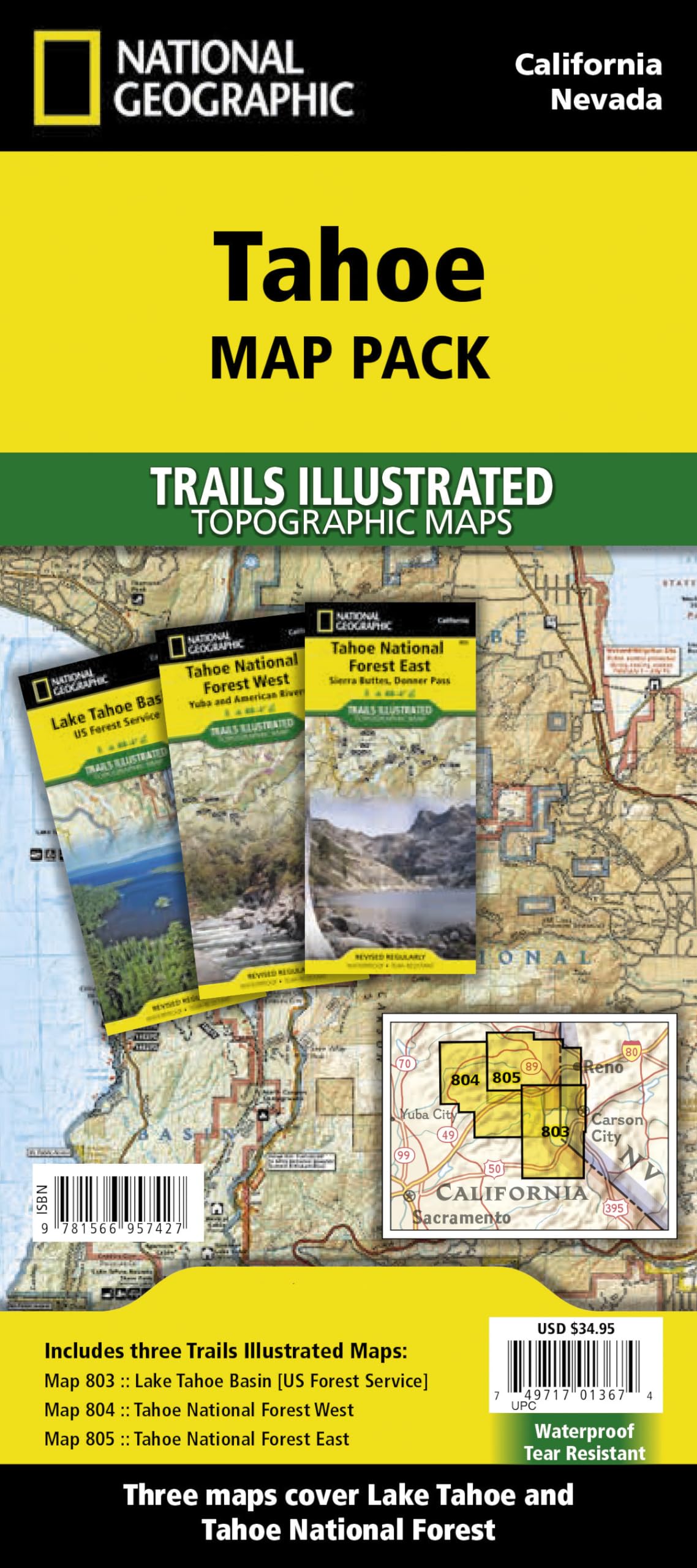
• Waterproof • Tear-Resistant • Topographic Maps Lake Tahoe is the sapphire jewel in the crown of the Sierra Nevada mountains. The lake's surface covers almost 200 square miles and forms part of the border between California and Nevada. Just to the north of recreation meca of Lake Tahoe is Tahoe National Forest with nearly 900,000 acres of recreational opportunities. Rivers, snow capped peaks and dense forests offer outstanding recreation year round. In this section of the Sierras a complex set of ecosystems are found as the terrain ascends from 1,500 feet along the western boundary to over 9,000 feet along the crest. The Tahoe Map Pack includes: Map 803 :: Lake Tahoe Basin - Map 804 :: Tahoe National Forest West - Map 805 :: Tahoe Naitonal Forest East Every Trails Illustrated map is printed on "Backcountry Tough" waterproof, tear-resistant paper. A full UTM grid is printed on the map to aid with GPS navigation. Map Scale = 1:63,360 - Sheet Size = 25.5" x 37.75" - Folded Size = 4.25" x 9.25" Founded in 1915 as the Cartographic Group, the first division of National Geographic, National Geographic Maps has been responsible for illustrating the world around us through the art and science of mapmaking.Today, National Geographic Maps continues this mission by creating the world's best wall maps, recreation maps, atlases, and globes which inspire people to care about and explore their world. Tahoe Map Pack Bundle